We had brainstormed, planned and stared at maps for many months, We wanted to reach four remote tundra wildfires scars in mid West Greenland to study their impacts on soils, vegetation, carbon and micro-climate.
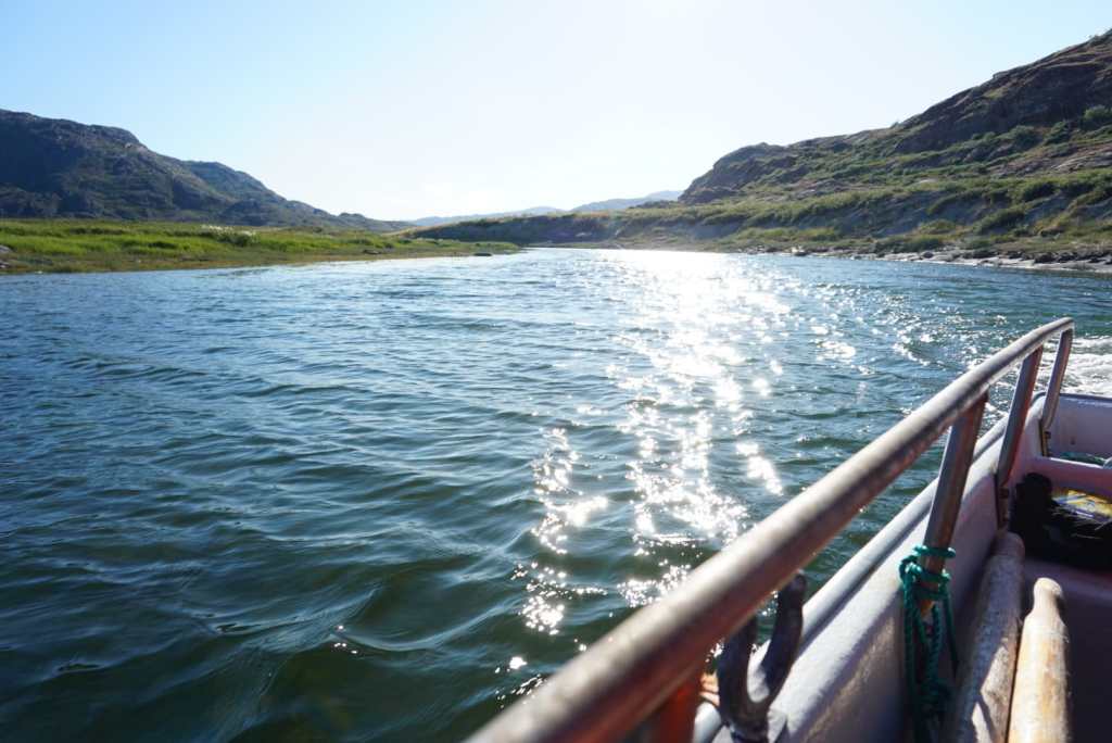
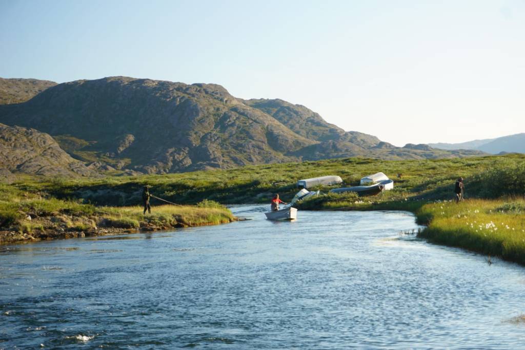
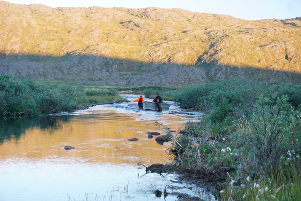
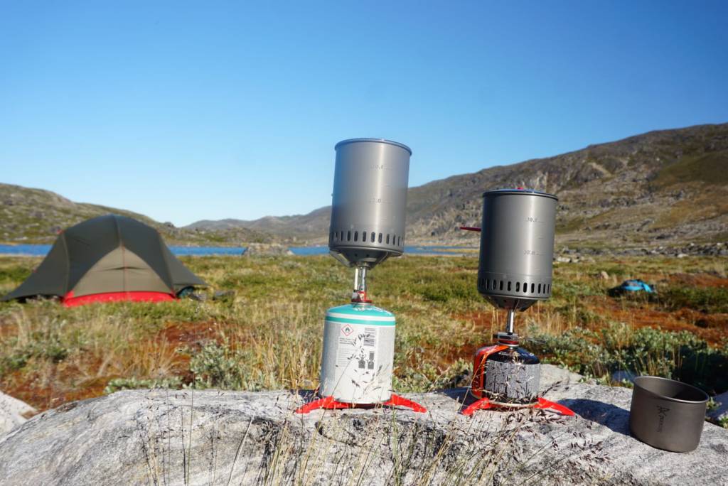
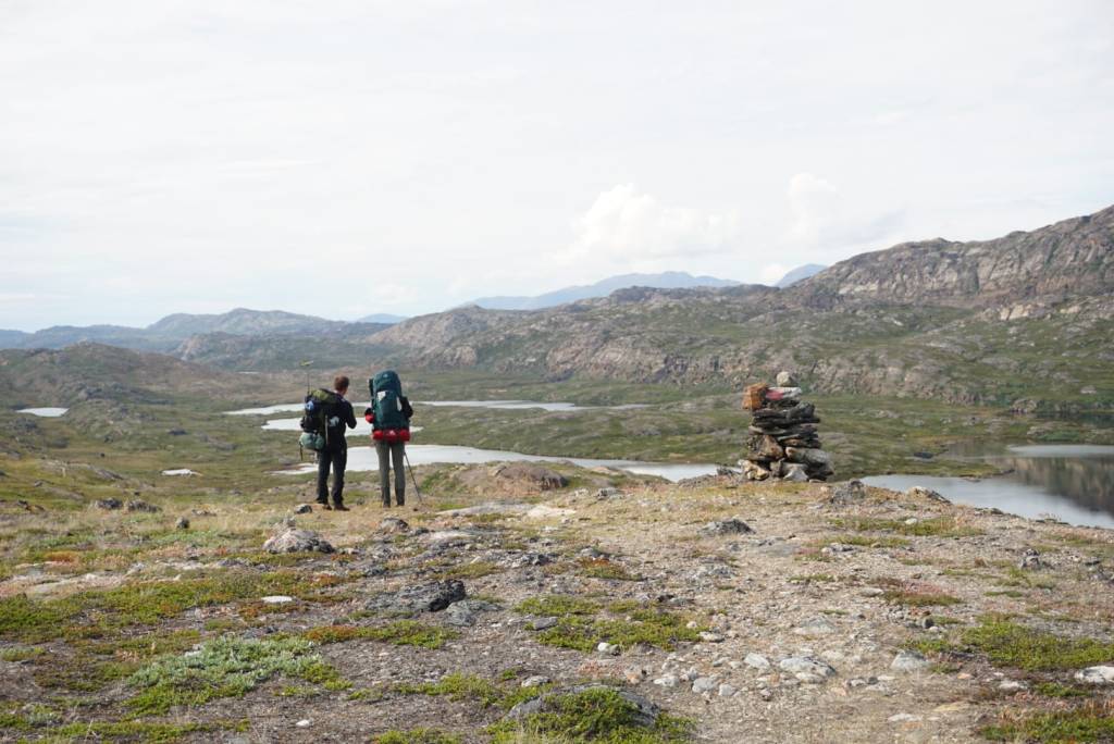
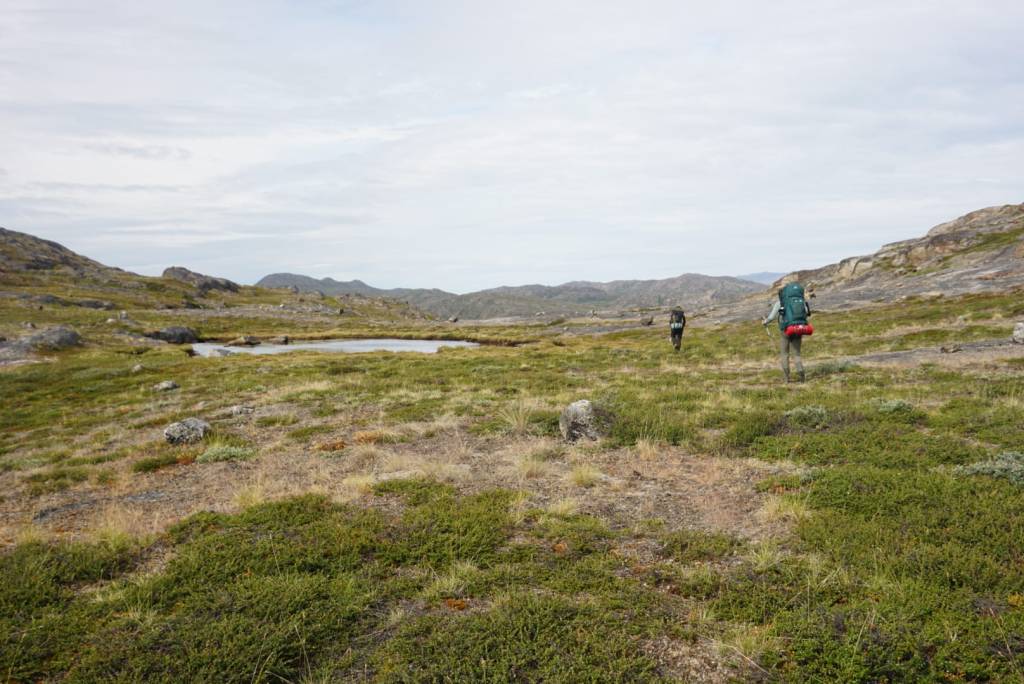
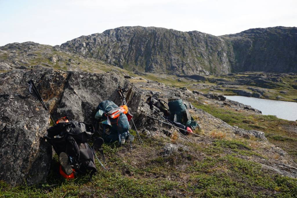
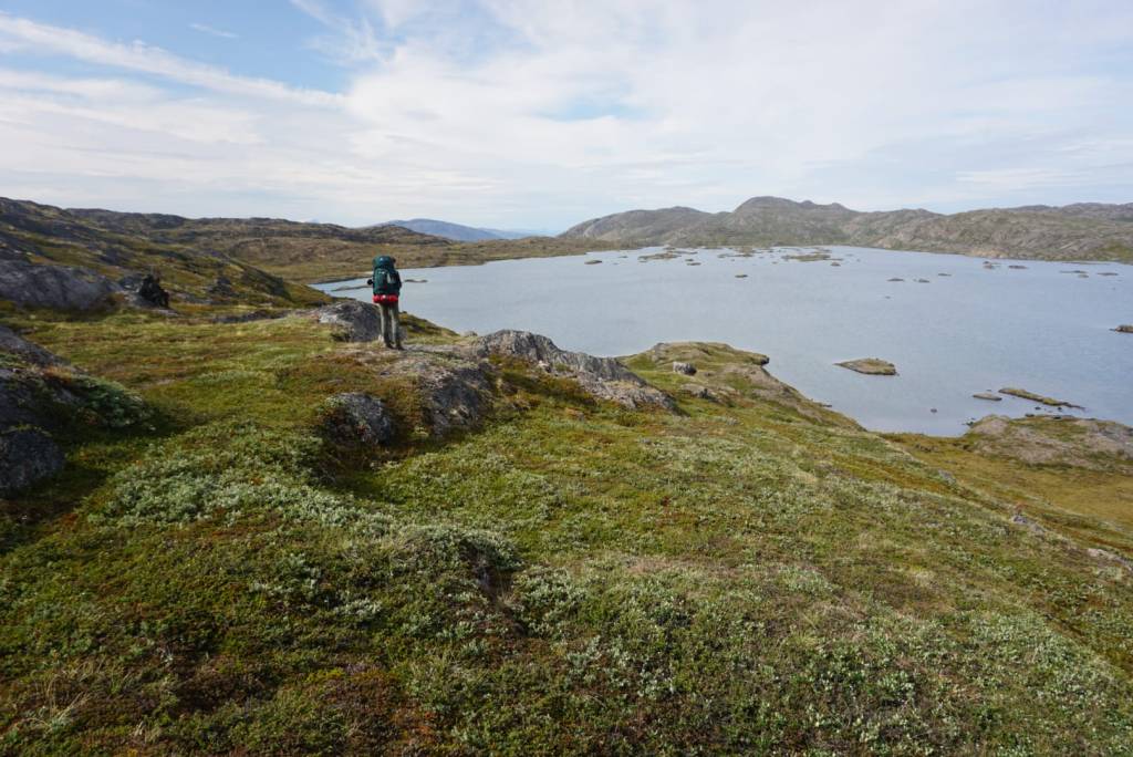
Getting there was the first challenge. It took us several very bumpy boat rides and some days of hiking with heavy packs. We camped at our research sites in tents, with lots of equipment, freeze-dried food and an InReach. When the boat threatened to get stuck in the river, we carried it across the rapids. Luckily, but coincidentally, most of the fires had started along the popular and epic Arctic Circle Trail, so we could follow a well established path and sometimes sleep in one of the huts. This was for sure my most adventurous campaign ever!
The research was of course a challenge in itself. As ecologists, when we want to know the impact of a process, we often rely on two options: (1) we make it happen in a controlled set up where everything is accounted for and measured, so we can be sure that all resulting changes are due to the process of interest. Or (2), we gather sufficient sites and similarly account for and measure all other potential variables of interest, so that we can at least statistically say how likely it is that the resulting changes are due to chance. But fires are quite unethical to just ‘make’ ourselves, and there aren’t so many of then in Greenland. And then they tend to happen and spread in certain ways due to a reason, for example the pre-existing vegetation or dry patches in the landscape. We needed four very smart brains to come up with a workable measurement design and even then it is unlikely to be ‘perfect’.
But for now, let’s not worry about the science, and enjoy the scenery!
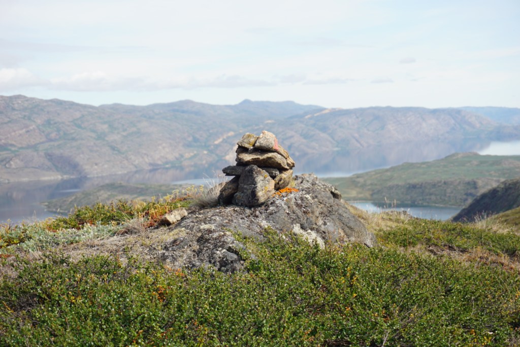
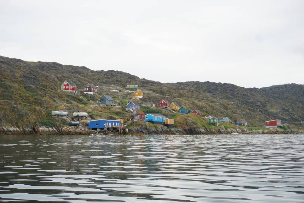
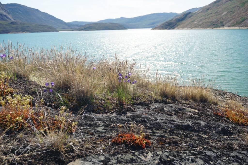
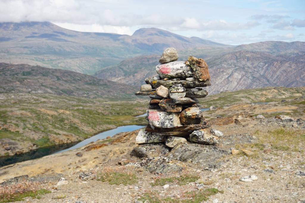
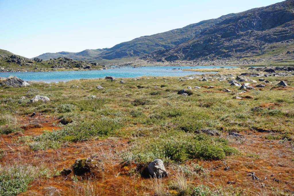
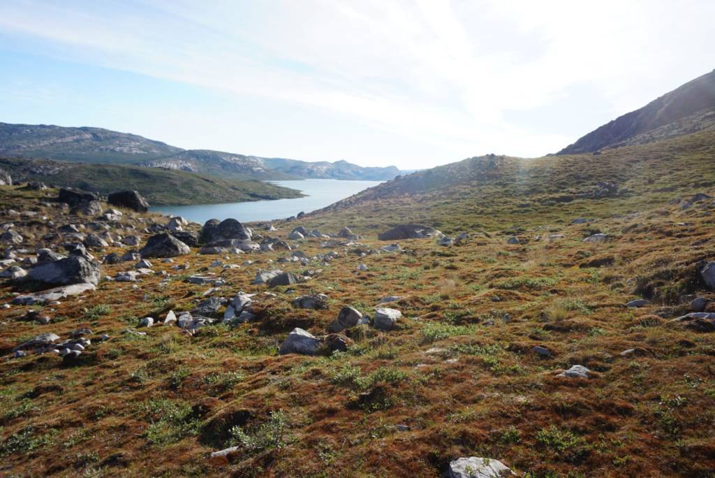
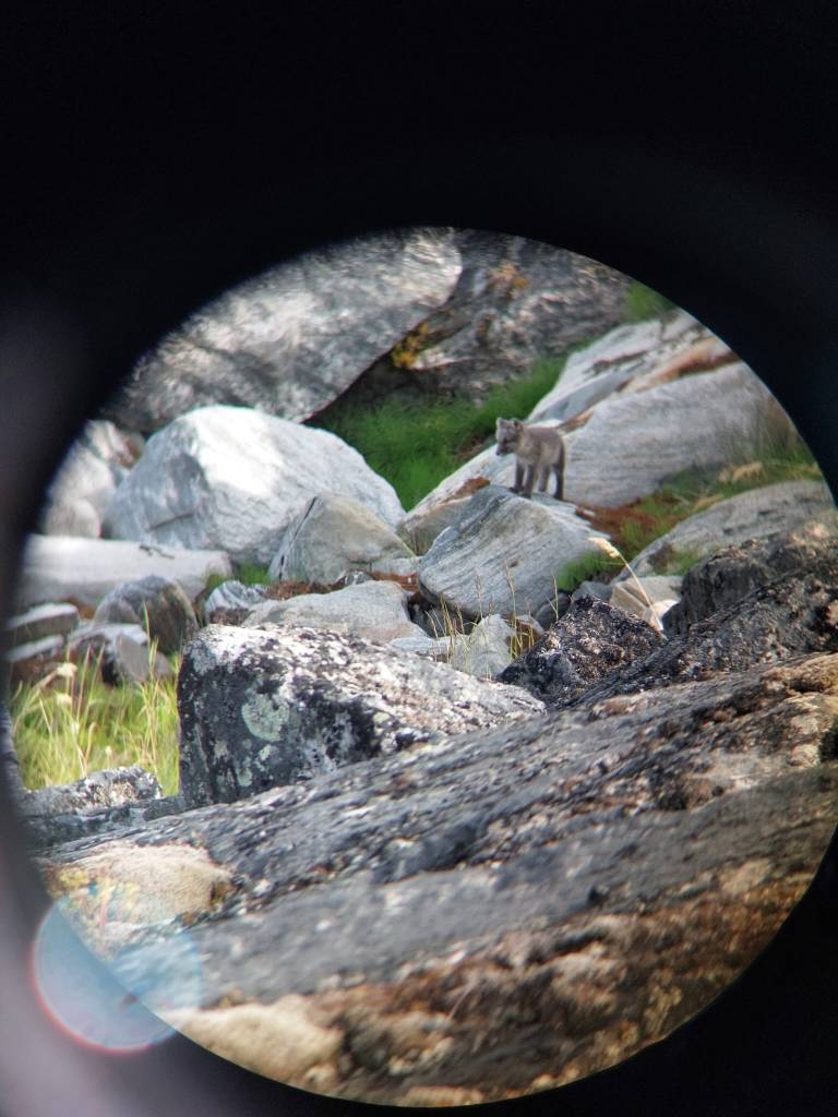
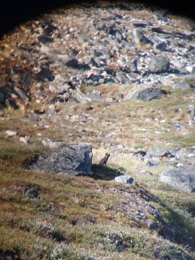
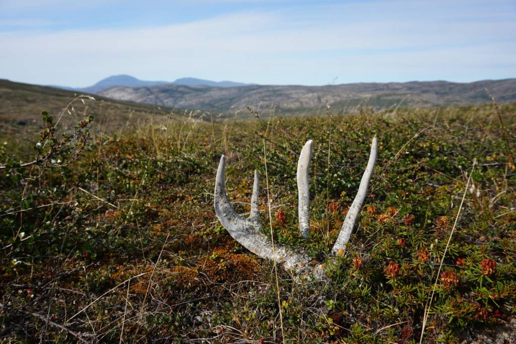
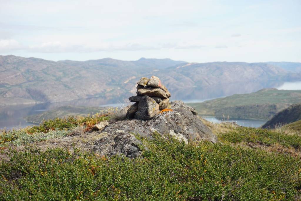
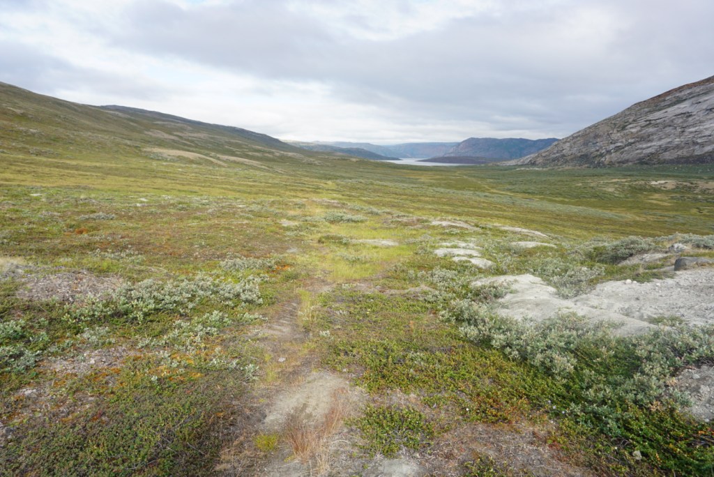
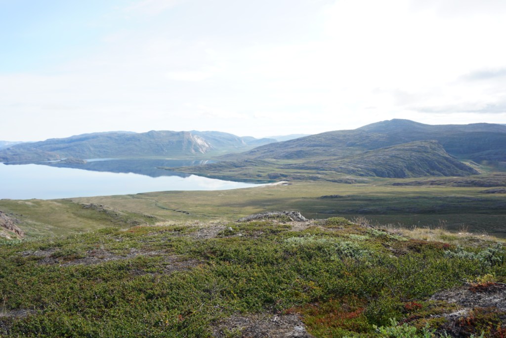
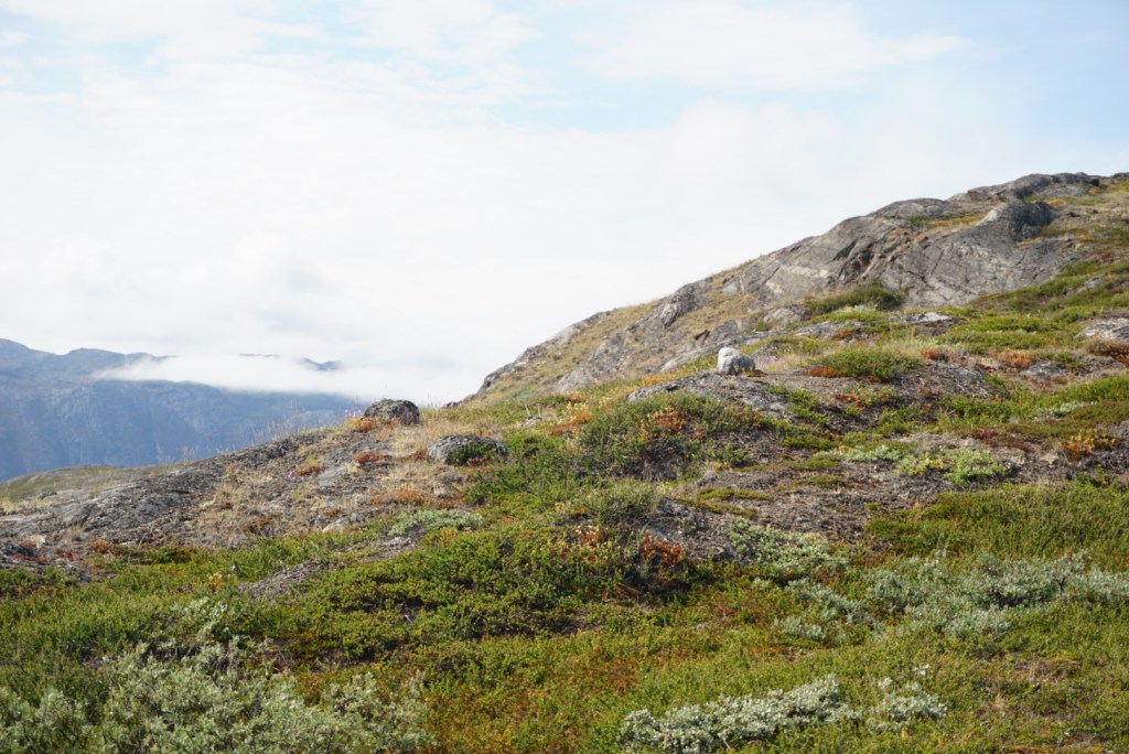
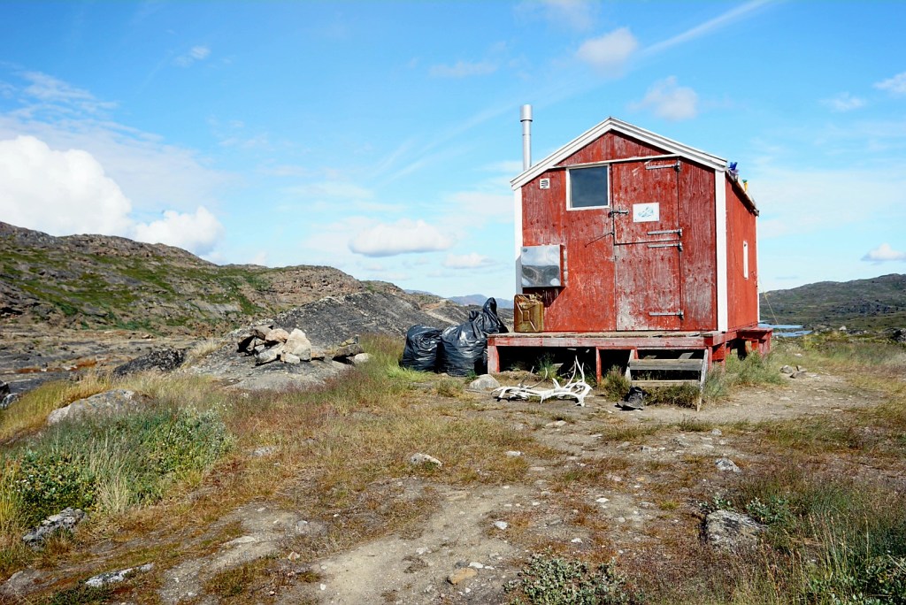
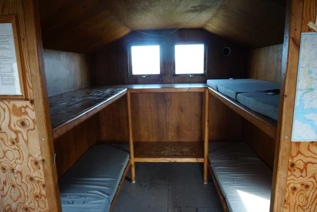
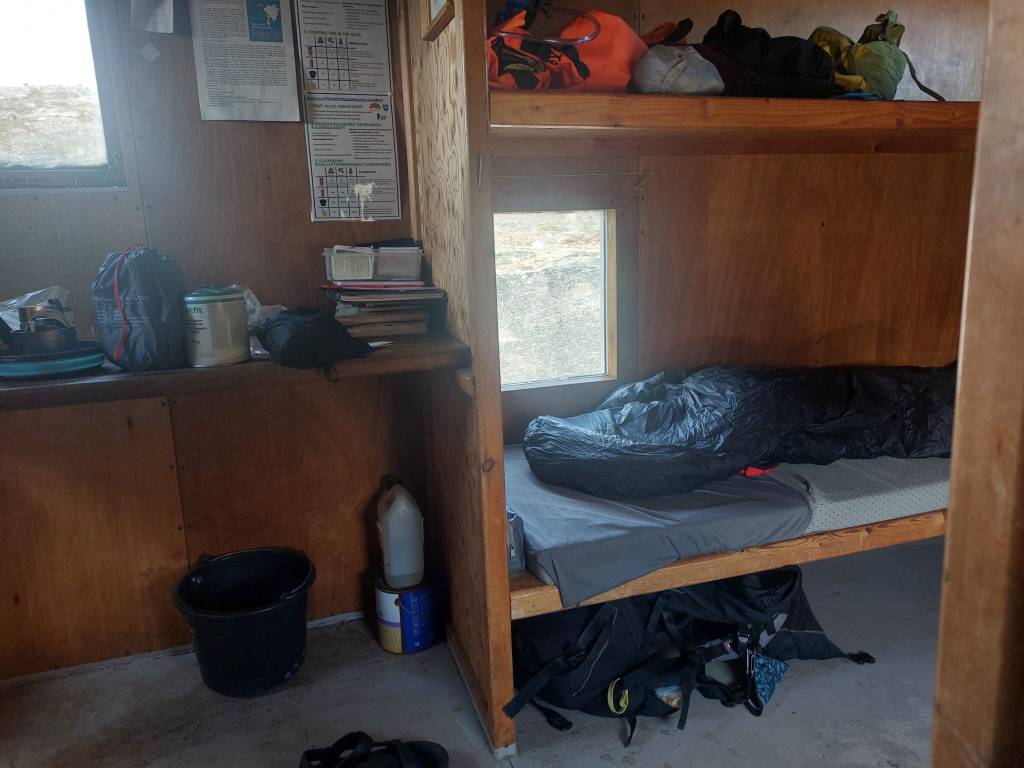
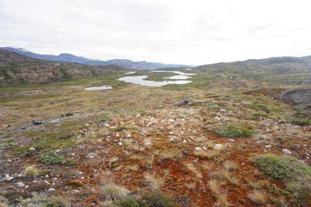
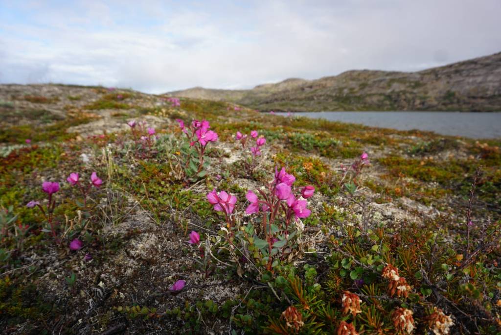
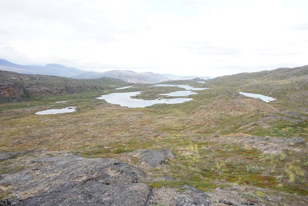
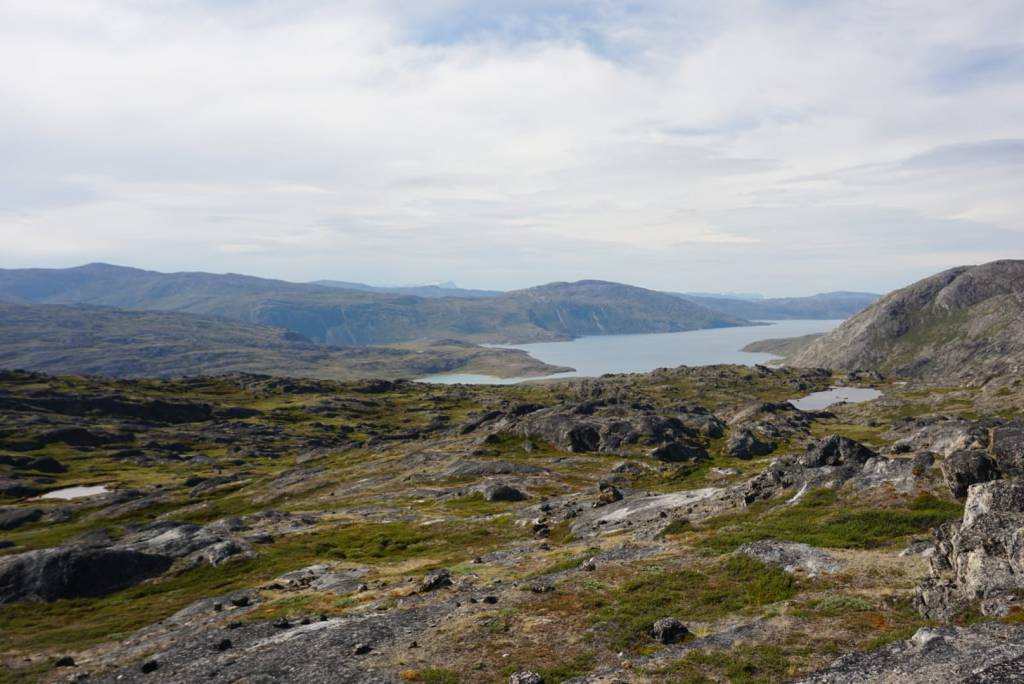
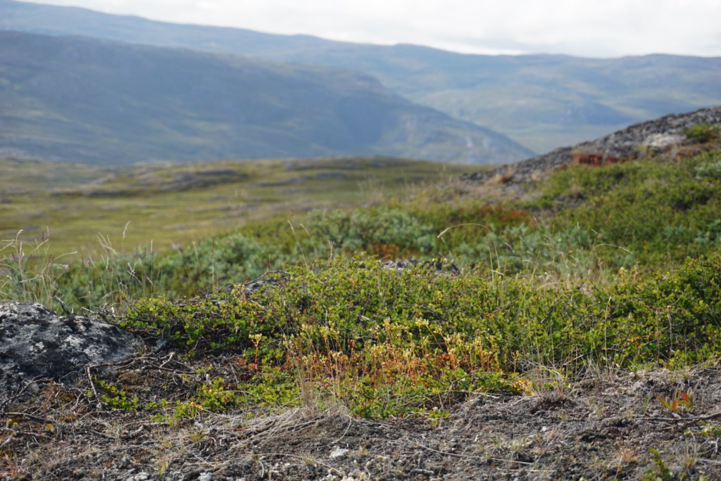
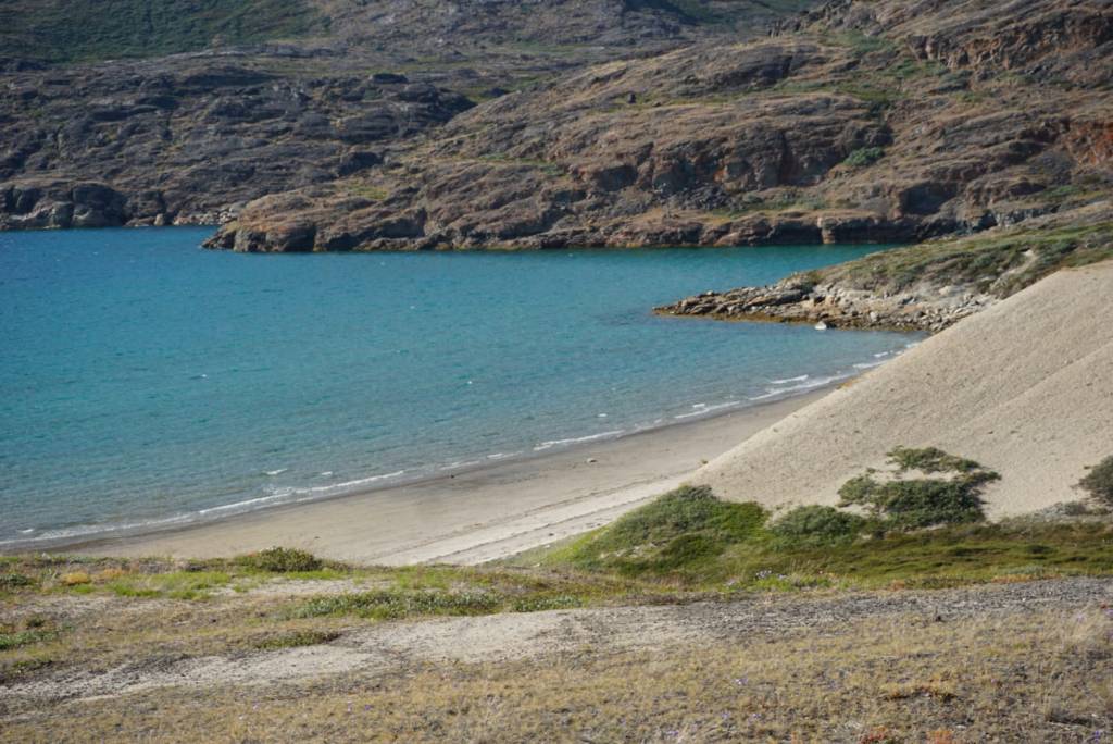
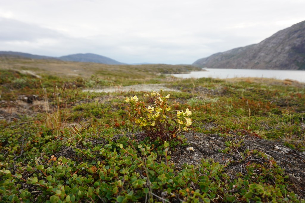
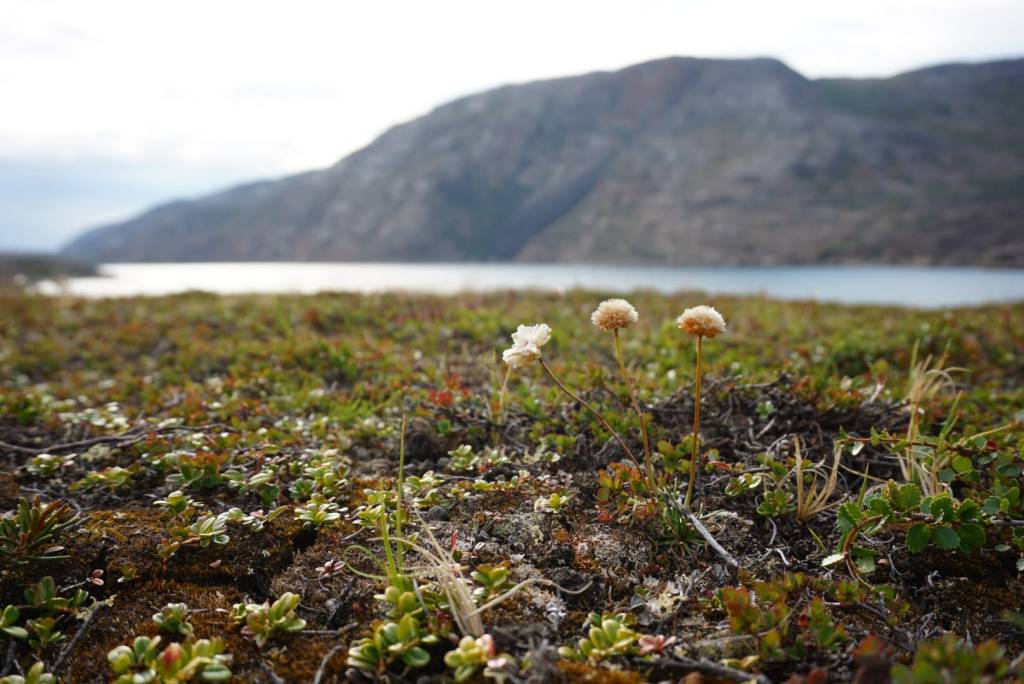
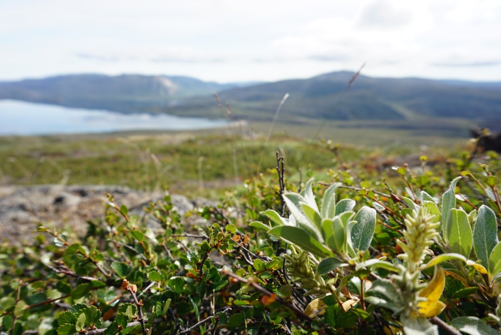
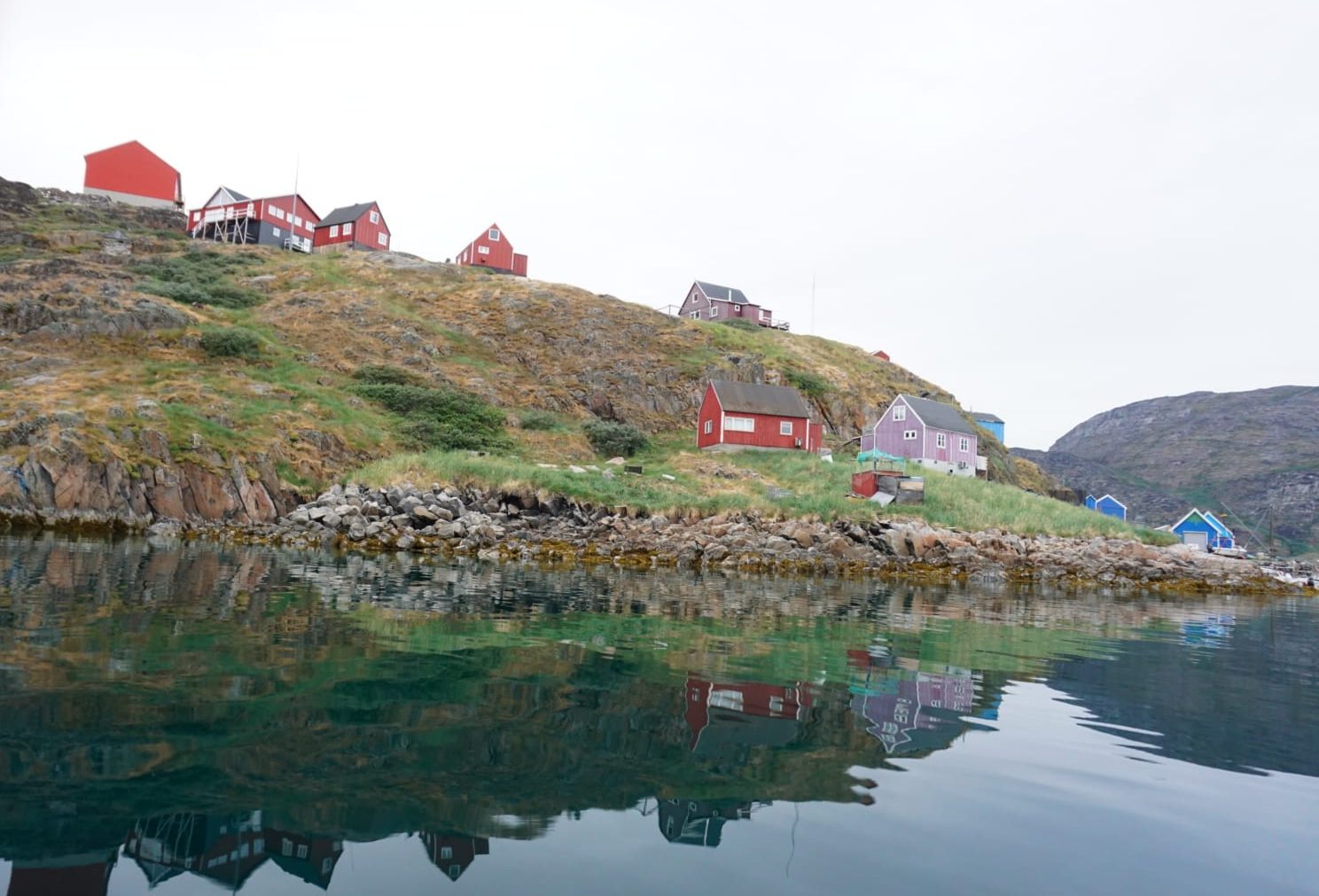
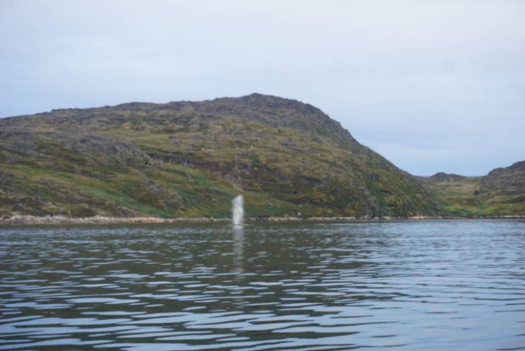
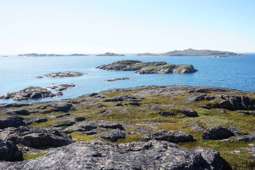
On the way to our drop off point we pass by the tiny village of Sarfannguit, population around 80. Many more people used to live in villages, but some during the past century people were ordered to move to larger settlements like Sisimiut.We wait in the fjord until the tides have risen far enough to carry us onto the river Itinneq. Boat driver Sven wonders whether he should set out his nets for Arctic char.Meanwhile we enjoy the views and flowers.The water level in the Itinneq river is so low that we need to drag the boat upstream for many kilometres. Hikers on the Arctic Circle Trail (ACT) call the surrounding valley the ‘valley of death’ due to the soggy conditions and many mosquitoes. ‘Hurray’.. It’s no easy task!It is 2am or 3am when we finally arrive at our destination. After a very short night and a quick plunge in the lake, we walk towards the nearest ACT road marker and set off to our first fire site.It is easy to find; the tundra is still a rusty colour where it has burned, due to the moss Ceratodon purpureus becoming very dominant in early successional stages.Our first camp is right inside a fire scar!Arctic hareBaby foxMama foxAfter four days of fieldwork and a canoe trip, it is time to get hiking again!We arrive at the Iqattoq cabin, where a fire broke out in 2016 after someone tried to burn trash.Basic but cosyAlso here, it is easy to see where the tundra burned 10 years agoChamaerion latifolium or dwarf fireweed, national flower of Kalaallit NunaatTwo more days of fieldwork (we are getting efficient!) and then it is time to hike to our pick up location. To get there, we need to go off trail!We reach our pickup site after a steep and challenging descent, and find an idyllic little beach. Of course I didn’t hesitate to go for a plunge again.Pedicularis labradoricaArmeria maritimaSalix glauca and Betula nanaPassing Sarfannguit again on the way backAnd as a real cherry on top, we are treated to a little show by humpback whales!


Leave a Reply