FIRE!
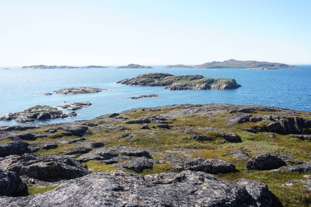
People are often surprised to learn that there are wildfires on the tundra of mid-West Greenland. Above the Arctic Circle, no lightning, low vegetation.. But when we first arrived there in July, we immediately understood. The ground was dry and the vegetation tall and dense enough to fuel a wildfire. Then all that is needed is an ignition, and in the absence of lightning, humans are the most likely source of ignition (although we also heard hypotheses about glass bottles left on the tundra). Many recent wildfires started at cabins and along hiking trails. In warm, dry future summers, everyone will need to be careful with open fire.
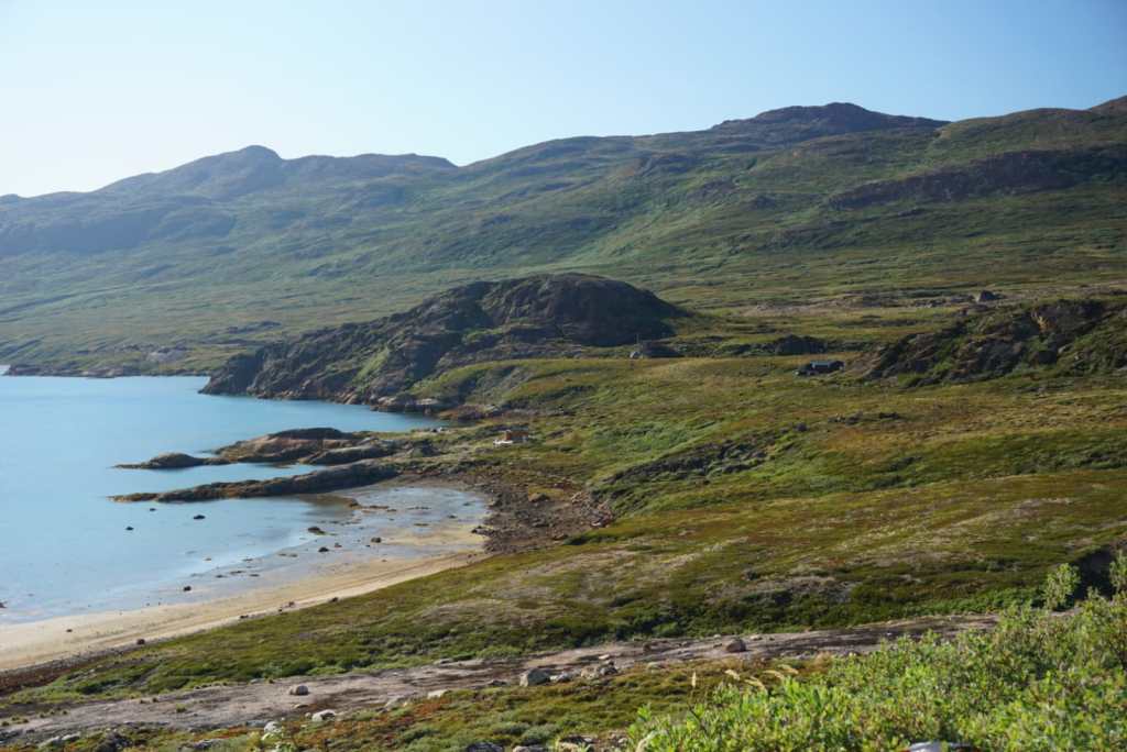
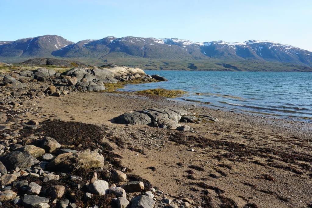
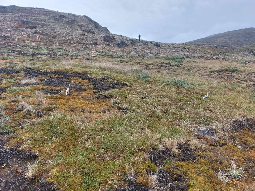
Kangerluarsuk Tulleq was our first stop in our research project studying ecological consequences and climate feedbacks from wildfires. A fire raged here for many months back in 2019, burning into peat layers and smoldering underground. In the beginning, hikers had to be evacuated. When the fire seemed to be under control, it spread underground and migrated to the other side of the mountain. Eventually it took many days, many people, helicopters, specialized equipment and help from abroad to extinguish the fire.
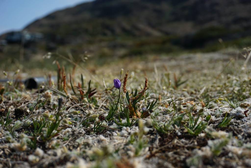
The impacts are still very visible today. Although specific moss species and willows colonize the burnt area very quickly, the soil properties, temperatures and plant communities are still vastly different. We have now set up monitoring for different tundra fires originating in 2016, 2017, 2019 and 2026, and hope to track their recovery for many years!



Leave a comment