“Did you pick the destination of our weekend away for this?”, asked T when I emerged from behind a river bank, over the moon with joy about my discovery. I was a bit embarassed, because, yes, I picked the destination of our weekend getaway based on an extremely niche and nerdy geological phenomenon of which I wasn’t even sure that I would find it. It must be difficult to go on hikes with me, when I disappear with my nose on the ground behind a steep river bank all the time.
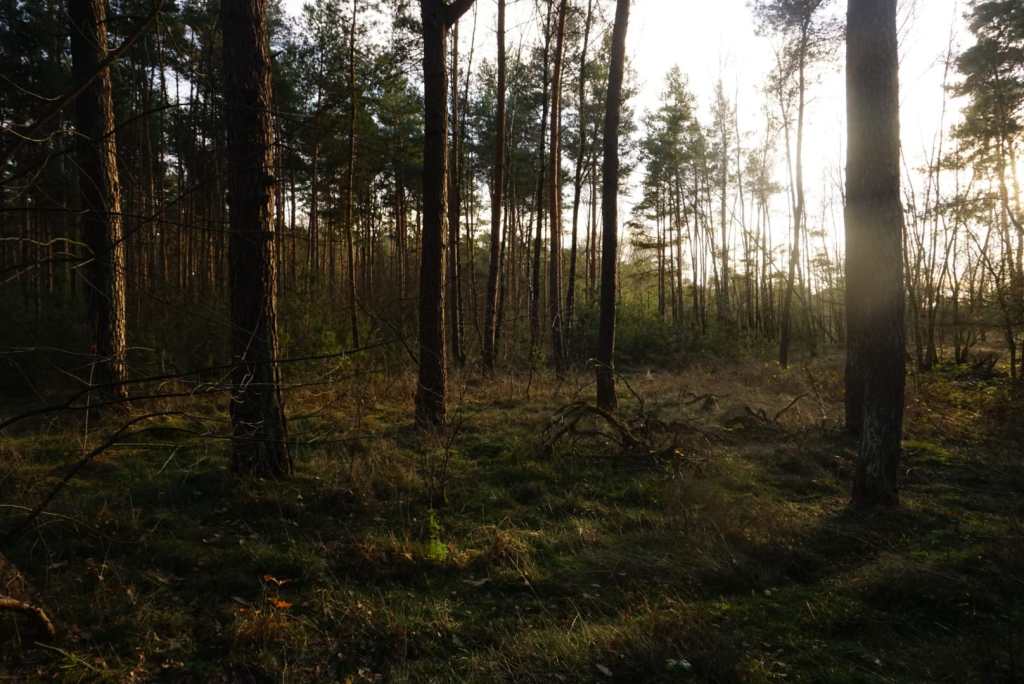
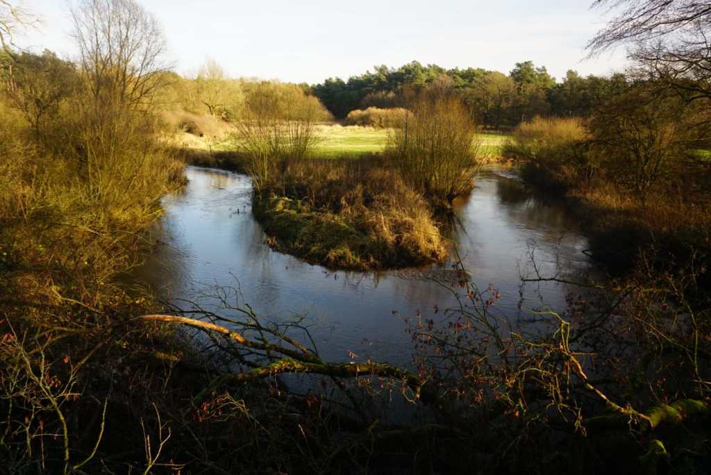
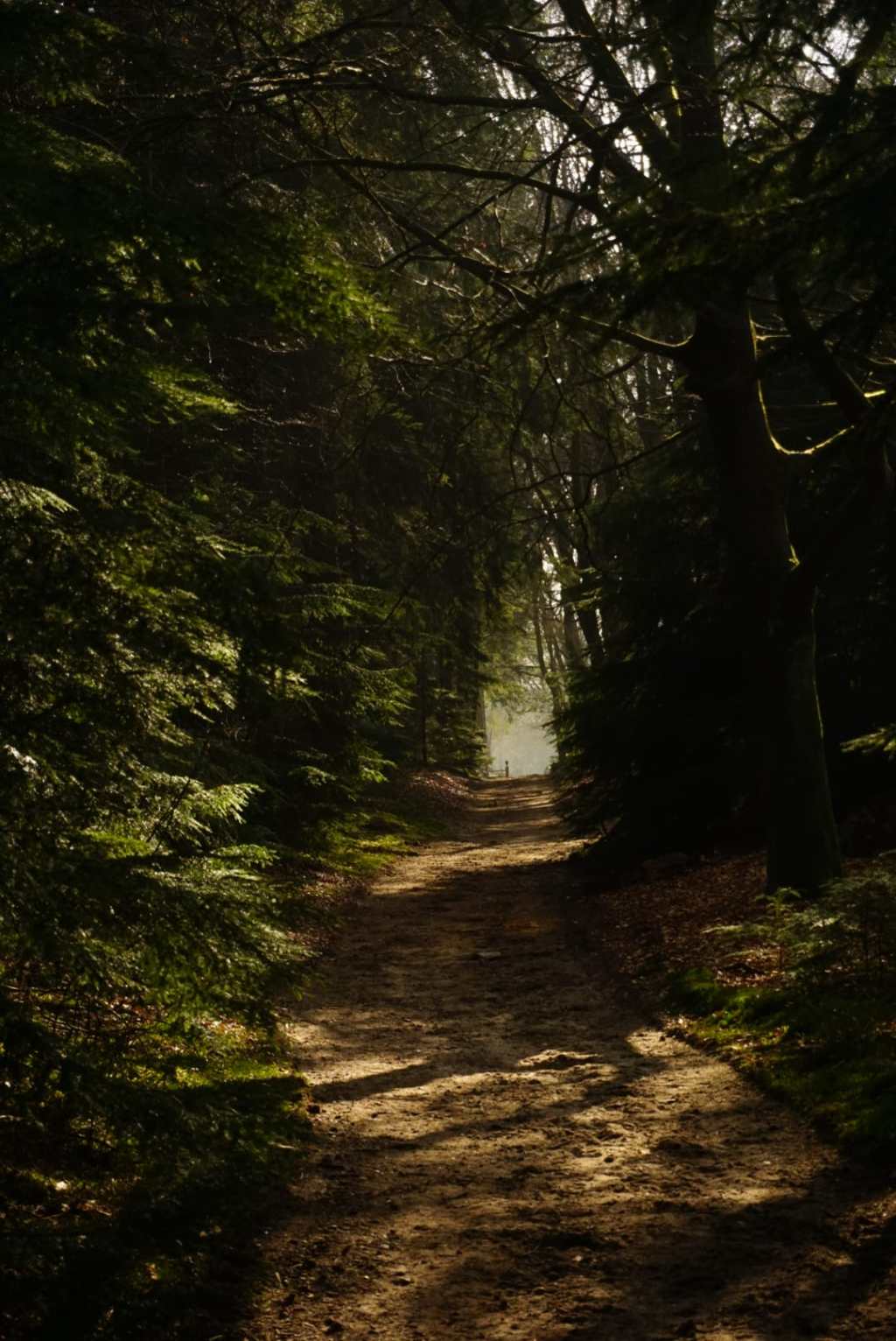
The tiny meandering river Dinkel, in the east of the Netherlands close to the German border, intersects an incredibly detailed and interesting series of younger and older Weichselian (last ice age) cover sands. It’s a freely and strongly meandering bit of river (rare in the Netherlands) with steeply incised banks that reach heights of up to seven meters (tall for the Netherlands). The sediments in these banks contain all kinds of signs of the past ice age climate with alternations of colder and less cold periods, such as:
- cryoturbated layers (nice straight lines of different deposits that have become all wiggly due to freeze thaw cycles)
- tiny layers of coarse sand and small pebbles from particularly cold periods during which strong winds blew away all the finer material an dcreated these “desert pavements”
- small frost cracks and ice wedge casts (Huh, what? Keep reading!)
It was the ice wedge casts that you can sometimes find here that drew my attention most of all. Ever since I learned that you can still find traces of ice age permafrost in sediments in the Netherlands, with traces of the same ice wedges that I know from my Arctic field studies, I knew I had to find one. Hence our holiday location, close to the river Dinkel.
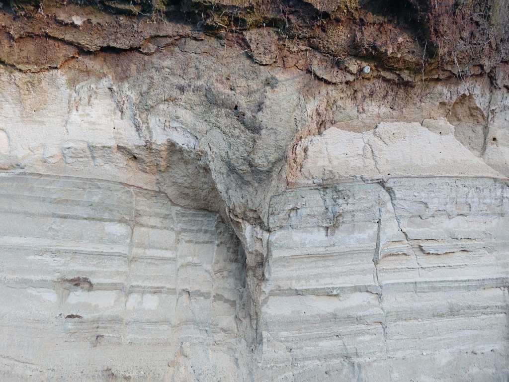
So what on Earth is this.. An ice wedge cast is the remnant of an ice wedge, molten and filled up with sediment, and in this case covered underneath a thick layer of younger Holocene blown sands and organic layers once the climate got milder and vegetation started growing more lushly. In a polar climate – or ice age climate – soils freeze in winter and thaw in summer. Moist soils expand when they freeze and shrink when they thaw, and if this happens quickly, the soil cracks. In the cracks meltwater stagnates and forms ice when it freezes again. More ice means stronger expansion and shrinkage, leading to the slow buildup of wedge shaped ice bodies in the soil. These ice wedges often form polygonal arrangements; this is homehow an optimal configuration under threedimensional forces that act upon the soil under freeze-thaw cycles. For a long time, the area must have looked like the polygonal networks in barren tundra soils that I have seen for example on Svalbard, and contained networks of wedge ice.
When they melt for good, as the climate warms, trough-shaped depressions form. These fill up with meltwater, blown sands, whatever is flowing and blowing around. But these are not necessarily the same sediments as the ones in which the ice wedge originally formed, and the nice layering in the soil is interrupted by a wedge shaped incision of different sediment. Here in the photo we also see other vertical discontinuities in the sediments right next to the wedge; frost cracks.
I was extremely happy to have seen this phenomenon, especially after learning that no proper ice wedge casts had been visible here for some time. It all depends on the river, if it intersects new bits of sediments, or buries geological secrets in its collapsed banks. I had been very lucky. The next day, we quickly dipped our toes into Germany before heading home.


Leave a comment